Zoning

 Welcome to the Liberty Consolidated Planning Commission’s Zoning Department. Our mission is to serve the public, to protect our resources, and to guide growth in conformance with the Liberty Consolidated Comprehensive Plan and the Regional Plan of Coastal Georgia. We are able to help you with your zoning-related and land use questions for all of Liberty County including all its municipalities. We can assist the public with small developments like placing a manufactured home in the correct location and by same token help corporations or large landowners to rezone large tracts of land for Planned Unit Developments or industrial parks. We work closely with all Liberty County Government Authorities and their staff. For our rezoning forms and other forms (e.g. conditional use, annexation and variance) and submittal schedules and fees, please click here.
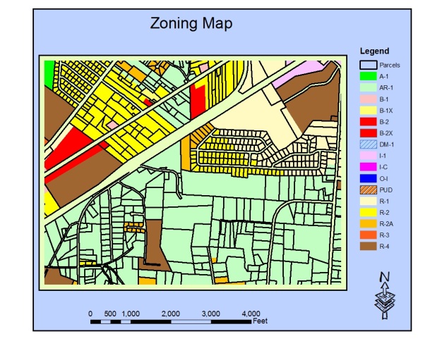
We administer the land development requirements in the Unified Development Ordinance (UDO) which includes provisions for zoning, signs and subdivision. We also propose and prepare revisions to the UDO to respond to evolving developments in natural and urban environments and to keep pace with both federal laws and regulations as well as with State of Georgia laws and regulations.
 We are responsible for administering the design guidelines for various overlay district areas within Liberty County and its Cities. Currently, they are six overlay districts as indicated below and the provisions for them are found in the Unified Development Ordinance.
- Liberty Gateway Overlay District includes portions of the East Oglethorpe Highway (US 84) and North and South Coastal Highway (US 17) corridors in Midway, Riceboro, and the unincorporated portion of the County
- Hinesville Downtown Redevelopment Overlay District includes all of downtown Hinesville bounded by Oglethorpe Highway, General Screven Way, and General Stewart Way.
- Flemington OC-1 Commercial Overlay District includes East Oglethorpe Highway within the city limits of Flemington.
- Flemington Downtown Development Overlay District includes land south of East Oglethorpe Highway between Patriots Trail and Fraser Martin Avenue
- Allenhurst Historical Overlay District includes portions of Dunlevie Road between the railroad tracks and Waters Avenue.
- Military Installation Zoning Overlay District includes areas surround Fort Stewart.
Additionally, we work in partnership with the City of Hinesville Department of Inspections and the Liberty County Building & Licensing Department which issues building permits for all jurisdictions in Liberty County except for the City of Hinesville. For information on building permits, please visit, as applicable, the Liberty County website or the City of Hinesville website.